There is no fee unless we win!
EN

- EN
- ES


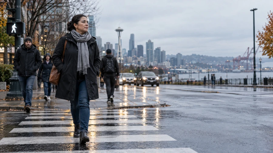
Pedestrians are in 5% of Seattle's auto accidents but 53% of its fatal ones. The hotspots are wide, fast arterials: Aurora Avenue N, Rainier Avenue S, Martin Luther King Jr. Way S and, south of the city, Pacific Highway South.
The Washington attorneys at Lehmbecker Law handle pedestrian accident cases for people hurt in Seattle, on the Eastside, and throughout South King County.
Every corridor in this article appears because a city, county, or state agency flagged it in its own crash records. We relied on these published sources:
Two limits apply. Police-reported data misses minor incidents and crashes that never drew an officer, as SDOT acknowledges, and the 2025 figures are still preliminary. Seattle streets, state routes, and county roads are also tracked by different agencies, so their counts are not always directly comparable.
Walkers make up a small share of Seattle's crashes, but a large share of its deaths, and Washington's pedestrian death toll remains near record highs. Only the first row covers every travel mode; the rest isolate pedestrians.
SDOT also notes that Seattle's overall fatality rate sits below many peer cities. The problem is severity: pedestrians account for a small share of crashes but more than half of fatal crashes.
SDOT's High Injury Network ranks arterial segments by how often crashes happen and how badly people are hurt. A handful of corridors keep reappearing in city documents, including the Mayor's 2026 order to fast-track safety work.
Aurora is State Route 99 as it crosses Seattle, and SDOT's safety plans name it repeatedly. A 2021 SDOT briefing counted at least 20 traffic deaths and 49 serious injuries on Aurora as of 2021, since Vision Zero began in 2015, against 5 deaths and 60 serious injuries on Rainier Avenue S.
The city's 2024 action plan called for designing hardened centerlines at six Aurora intersections and set a target to lower the speed limit on a 0.7-mile stretch near Green Lake. The 2026 executive order lists Aurora among the locations receiving upgrades at 19 high-collision sites.
Rainier runs the length of the Rainier Valley, in Council District 2. SDOT data reported by KING 5 showed that 56% of deadly and serious-injury pedestrian crashes in 2022 happened in that district, which includes Rainier Beach, Columbia City, and Beacon Hill.
Rainier also offers evidence that design matters. After SDOT added a road diet, signal changes, and a lower speed limit through Columbia City and Hillman City in 2015, collisions fell by 15%, injury collisions by 30%, and crashes involving people walking, rolling, or biking by 40% (SDOT action plan).
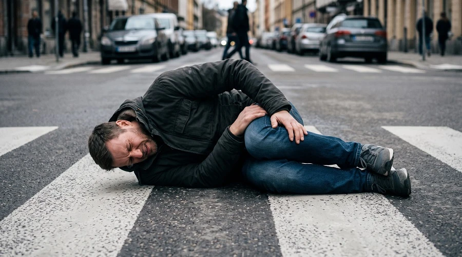
WTSC's 2025 project description for this corridor says SDOT has identified it as one of the city's most dangerous streets, and that nine people had been killed on it since 2019 as of that description. SDOT's action plan also describes the MLK Jr Way Safety Project and smart traffic signals that track near-miss events.
The Mayor's August 2026 order moved traffic calming on MLK Jr. Way S from late 2027 to the second quarter of 2027.
SDOT describes 4th Avenue S as a corridor with a history of severe crashes that caused deaths and serious injuries. Its action plan funded a median island rebuild between S Holgate St and S Massachusetts St and a larger bus loading area at 4th and Holgate.
Across Seattle, SDOT's own analysis shows the highest concentration of serious and fatal crashes in South Seattle, followed by Downtown and the north end (same plan).
SDOT planned safety work at 13 downtown intersections to improve pedestrian safety and cut turning-vehicle conflicts, and added no-turn-on-red rules and protected left turns at Broadway and E Olive Way, a flagged high-collision location (SDOT action plan). The 2026 order also names 5th Avenue.
Farther north, Lake City Way NE received Vision Zero funding alongside a WSDOT repaving project, per the same action plan. The Seattle Streets Alliance, an advocacy group quoted in the Mayor's announcement, lists Lake City Way among the city's five most dangerous streets.
The risk does not stop at the city limits. State and county records point to a few stretches in South King County and to county-maintained roads in unincorporated areas.
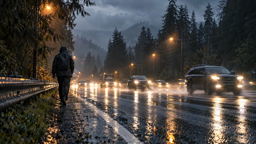
Pacific Highway South is the same as SR 99, which becomes Aurora in Seattle, and it passes through Tukwila, SeaTac, Kent, and Federal Way. WTSC's project description for this corridor cites WSDOT crash data showing 38 collisions that seriously injured or killed walkers and rollers between 2017 and 2020 on the stretch between mileposts 6.15 and 24.17. Thirty-four pedestrians were involved.
WTSC's 2025 project there aims to cut the share of drivers seen behaving unsafely around people on foot by 10%.
A fatal case review by the study team of the Cooper Jones Active Transportation Safety Council, published by WTSC, counted 12 pedestrian deaths in Kent in 2022 and 2023. Ten happened on the roadway outside a marked crosswalk, and three-fourths occurred in dark but lighted conditions.
Every case reviewed occurred on an arterial, per the same study team's review. In two crashes on a state-owned, five-lane arterial posted at 45 mph (one of them on SR 516), the nearest marked crosswalk sat 750 feet and 1,200 feet away, and both pedestrians were over 70. The same review notes that Kent has since lowered the speed limit on one section of Pacific Highway from 45 to 40 mph. The team's observations are not official recommendations of WTSC or the council.
King County Road Services logged 27 pedestrian collisions on county-maintained roads in 2024, up from 20 in 2023. Twenty-two caused injuries, and four were fatal.
Pedestrians were in under 2% of all county collisions but in 4 of the 11 fatal ones. In 11 of the 27 crashes, the person was in the roadway rather than a crosswalk, shoulder, or sidewalk, and 7 occurred in marked crosswalks (county 2024 report).
The corridors differ, but the crash records describe the same ingredients again and again.
Washington law generally requires drivers to stop for people in crosswalks and to exercise due care around anyone on the roadway, but a pedestrian's own conduct can reduce, though not eliminate, a claim. These are the statutes most relevant to the crashes described above.
Under RCW 46.61.235, a driver must stop and stay stopped for a pedestrian who is in a crosswalk, or within one lane of the half of the roadway the vehicle is using or turning into. Unmarked crosswalks count, and most intersections qualify even without paint.
On a six-lane road like Aurora, "half of the roadway" means every lane traveling in one direction.
RCW 46.61.240 requires pedestrians who cross away from a crosswalk to yield to vehicles. That rule matters on corridors where crosswalks sit far apart.
Drivers still carry a separate duty. RCW 46.61.245 tells every driver to use due care to avoid hitting a pedestrian on the roadway and to sound the horn when necessary. Where there is no sidewalk, RCW 46.61.250 directs pedestrians to walk facing traffic. All three appear in chapter 46.61 RCW.
Under Washington's pure comparative fault approach, RCW 4.22.005 spells out the effect: any fault assigned to you lowers your compensation by that percentage. One exception: if an intoxicated pedestrian is found more than 50% at fault, RCW 5.40.060 can bar recovery entirely. For illustration, if a jury found a pedestrian 20% at fault for a $500,000 loss, the award would drop by $100,000.
One caution from the Kent study team: pedestrians killed in crashes are automatically tested for alcohol and drugs, while drivers are not, which can make pedestrians look more at fault in the records.
Crash location can raise a government liability question. Washington courts require a city or county to use ordinary care to keep roads reasonably safe for ordinary travel, a standard set by the Washington Supreme Court in Keller v. City of Spokane (2002). Whether a missing crosswalk, broken signal, or blocked sightline meets that standard depends on the facts, and a mid-block crossing can be disputed as "ordinary travel."
Before suing a local government, a standard tort claim form and a 60-day wait are required under RCW 4.96.020. State routes such as SR 99 involve WSDOT, and claims against the state follow a parallel process under RCW 4.92.100 and 4.92.110.
Washington gives most injured people three years from the date of the crash to file a lawsuit, as set by RCW 4.16.080. Government claims add a notice step, and evidence such as signal timing records and surveillance video can disappear long before any deadline. If a pedestrian dies, relatives may seek wrongful death damages, and a three-year limit generally applies to those cases as well.
The first hours can influence both your health and your case. If you can do so safely, take these steps:
If the driver left, see our guide to hit-and-run accidents.
A pedestrian injury often means surgery, weeks away from work, and bills that arrive well before any insurance check. The Washington State attorneys at Lehmbecker Law have represented injured people since 1986, and we handle pedestrian cases on a contingency basis, so fees are paid from a recovery rather than out of your pocket.
Contact our team and walk us through what happened.
Where the crash happened and how the crossing was built can affect who pays. Our Washington attorneys can review your case before you speak with an insurer.


A crash that causes severe bleeding, broken or distorted limbs, crush injuries, significant burns, paralysis, unconsciousness, or major head, chest, or abdominal injuries.
SDOT scores roughly one-mile arterial segments over five years. Half the score reflects all crashes (excluding parking, rear-end, and sideswipe), and half reflects injury and fatal crashes.
King County counts a death as a fatal injury if it occurs within 30 days of the collision.
The WTSC dashboard includes people on personal conveyances, so they are counted alongside people on foot.
Yes. RCW 46.61.235 requires drivers to stop for a pedestrian, bicycle, or personal delivery device in a crosswalk.